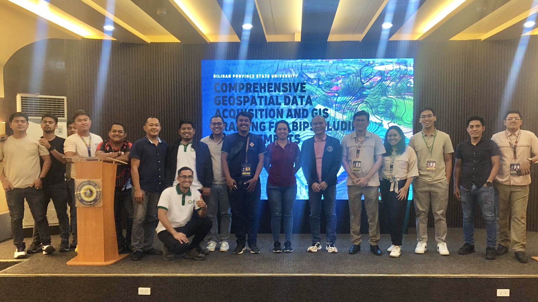
Biliran Province State University (BiPSU) recently organized a training workshop focusing on Geospatial Data Acquisition and Geographic Information Systems (GIS) from April 18 to 21. Led by the Institutional Planning Office (IPO), the event involved participation from faculty and staff of the School of Engineering (SOE), Engineering and Physical Development Office (EPDO), Research and Development Office (RDO), and the technical team of Biliran Campus.
The workshop featured expertise from Visayas State University (VSU), with Geodetic engineers including Engr. Florentino F. Morales Jr., Engr. Celestial Manigo, and Engr. Clyde Pelesco serving as facilitators. Over the course of four days, participants received training on various aspects, such as laws and regulations governing UAV/drone operations in the Philippines, aerial mapping techniques, participatory mapping methodologies, and ground truthing and validation procedures.
The state-of-the-art Global Navigation Satellite System (GNSS) Real-Time Kinematics (RTK) survey equipment and a professional quadcopter drone in were utilized to map the Naval and Biliran campuses that generates high-quality, accurate maps. These maps will be used as basis for the university's Land Use Development and Infrastructure Plan (LUDIP).
#WoWBiPSU
-
 0
0
-
 2
2
-
 0
0
-
 0
0
-
 0
0
-
 0
0